The people and places that made Bungonia what it is today
- Home
- European
How
European Settlement developed in Bungonia, NSW
Notable European incursions included Henry Hacking, convict John Wilson, and two others - Barracks and Collins. They left Prospect 9th March 1798 to move through the area later to be called the Goulburn Plains.
In 1818 explorers James Meehan, Charles Throsby and Hamilton Hume reached Bungonia Creek and the Jerrara Creek area. When they arrived, there were already illegal squatters living in the area, before legal permissions were granted.
They named ‘Caarne’ and identifyied the properties ‘Brisbane Meadow’, ‘Inverary Park’, Reevesdale’ and what is now known as ‘LumleyPark’.
Looking for Bungonia Specific History Archives? They are held in Goulburn Workspace by courtesy of Goulburn Mulwaree Council. Please use our contact form to arrange supervised access. You cannot do it through the council or the library.
Official leases were not issued until 1822 and Tickets of Occupation issued in 1823 to free settlers.
These free settlers included:
- Robert Futter; 2,000 acres Lumley Park, [Magistrate]
- David Reid; 1,000 acres Inverary Park, [Magistrate]
- James Styles; 2,000 acres Parramarragoo (Reevesdale).
- William Mitchell and G.L.M. Huon de Kerrilleau; 3,000 acres at Corrundunna (Brisbane Meadows).
- William Bradbury; 4,000 acres at Banganga (Spring Ponds).
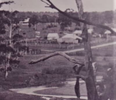
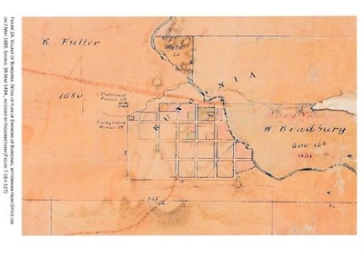
Bungonia Village was formally gazetted 1832.This village land was part of Robert Futter’s original Lumley Park grant.
European Settlement and the Bungonia Agricultural Heritage
Bungonia was the food bowl for the infant Sydney colony at that time. The wider Bungonia district grew not only grains, but meat and tobacco for the Sydney colony.
Even today, the region is still a centre of fine merino wool production, meat, forestry and tourism.
And still today, Lumley Park, Inverary Park and Spring Ponds are still large acreages, principally because they cover fertile basalt country. In fact, Inverary Park was the first Australian farm to buy a combine wheat harvester.
Hume reached the Bungonia Creek and Jerrara Creek area of Bungonia by at least 1818, naming ‘Caarne’ and identifying the properties ‘Brisbane Meadow’, ‘Inverary Park’, Reevesdale’ and what is now known as ‘LumleyPark’. Lumley Park was made the subject of Tickets of Occupation Grants by the European government in 1823.
In 1824 Alan Cunningham (Botanist) recorded his first visit “discovering” the Bungonia caves.
Bungonia Village was formally gazetted 1832.This village land was part of Robert Futter’s original Lumley Park grant.
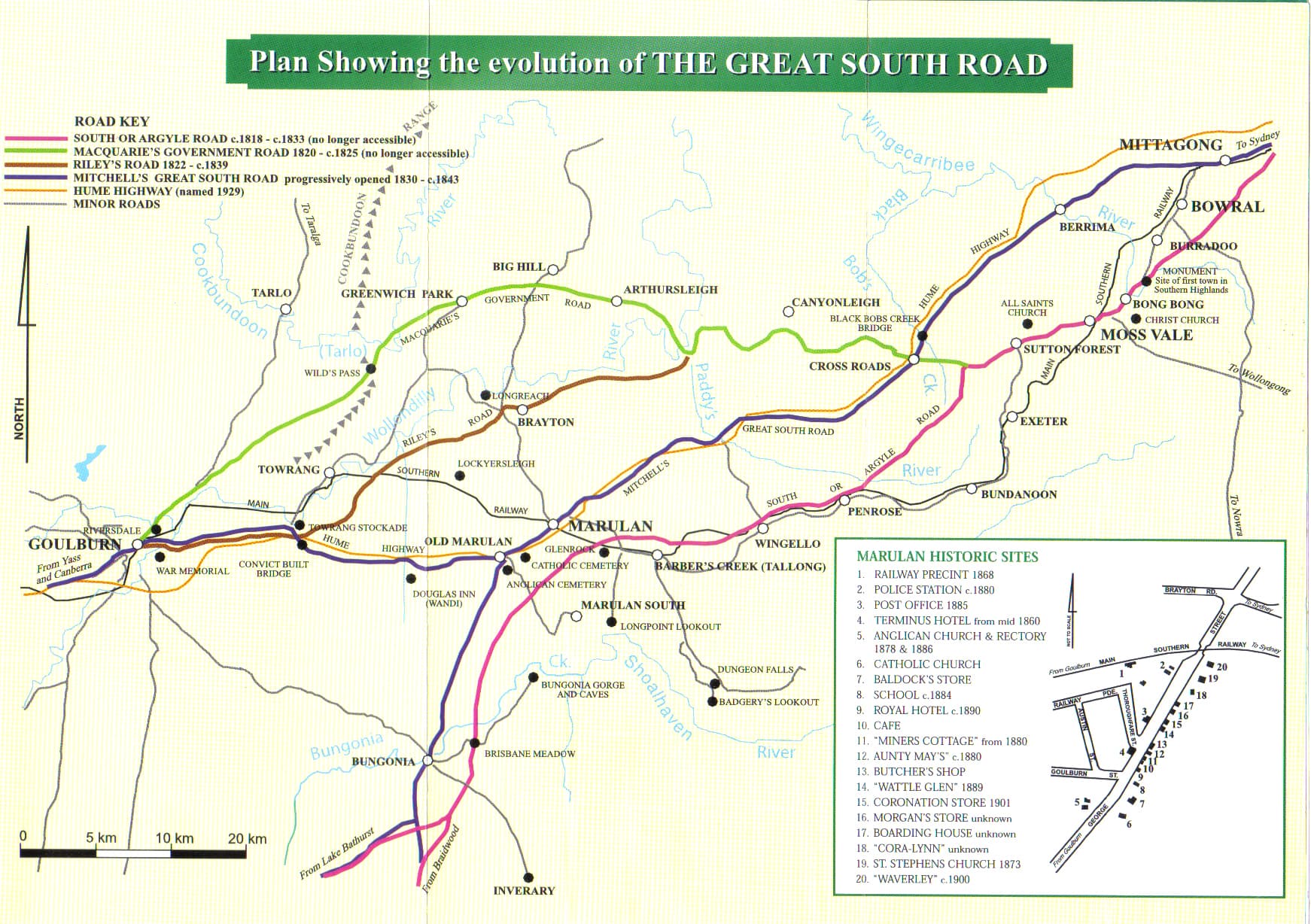
The first road from Sydney – the South, or ARGYLE road c.1818-c.1833 passed through Inverary and ran across-country southwards to the (Now) Lumley Road
& on to Braidwood. Mitchell’s “Great South Road”, progressively opened c.1830-c.1843, had the well-established Bungonia Village as a major trading and provisioning centre on its new route.
To read a firsthand account of what it was like to grow up in Bungonia in those early days, see this interview with Hazel Ayre.
Related Pages
Bungonia
as a trading centre
Bungonia was a trading centre and a major, resourceful artery of the Sydney Colony.
Some of the non-agricultural resources that enabled the area to prosper and were sent to Sydney, were:
- Mineral water from “Westwood’ Spring
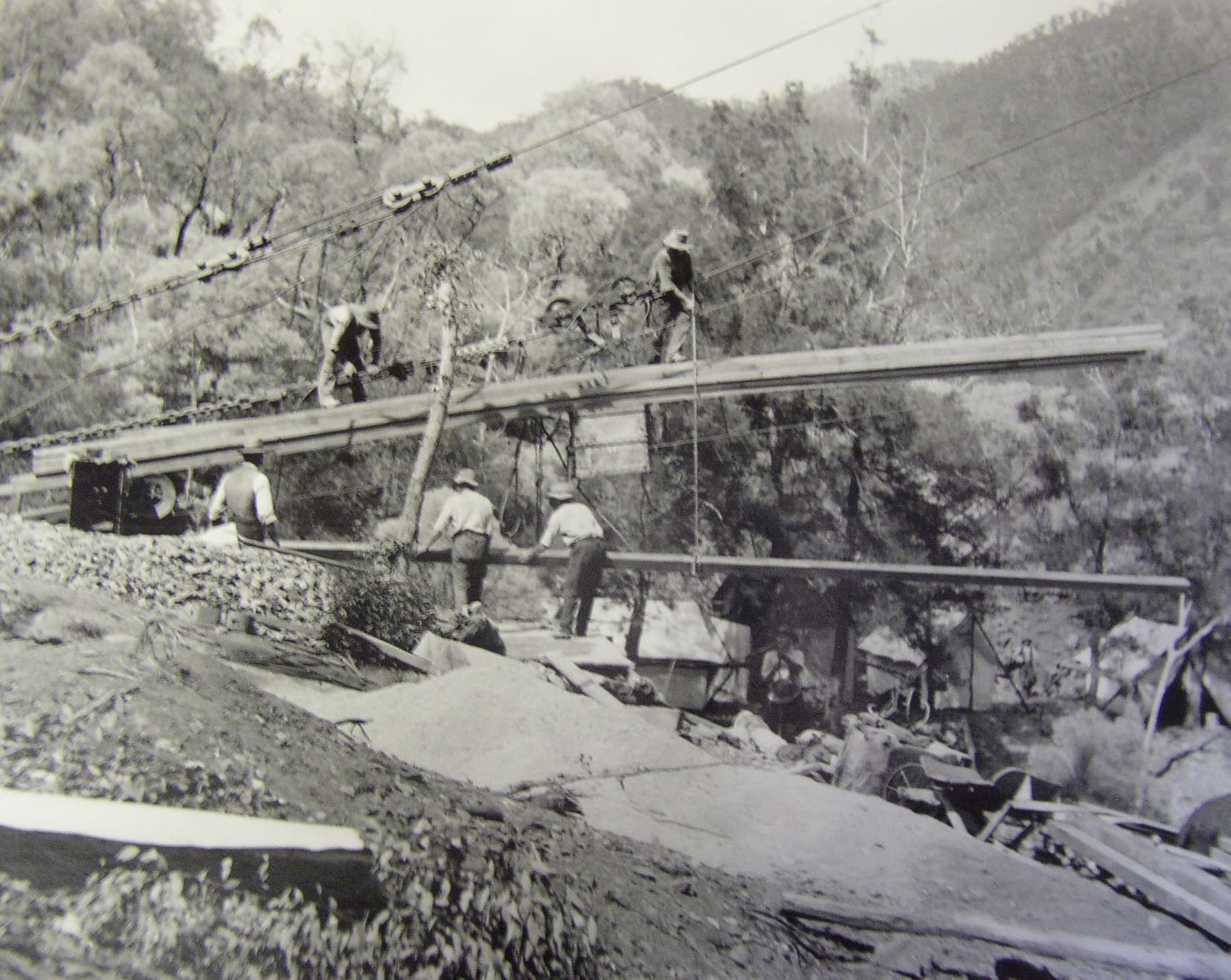
- Copper and arsenic mined from Tolwong on the Shoalhaven
- Gold from throughout the district
- Limestone and creek sand for building
- Mountain ash wood for pit props
- Marble from Windellama (a great example of this is on the floor of the Great Hall of Sydney University)
- White pipe clay from ‘Reevesdale’
- Cedar
See this page to learn more about life as it was then, which recounts a visit to the house of Freddie Wells, an interesting and storied early resident.
The
end of the line
Historically the village (called Inverary) was on the Old South Road that went from Sydney through to Braidwood and ultimately Melbourne. This road was called the Argyle Road.
It passed through Inverary and ran across-country southwards to the (Now) Lumley Road & on to Braidwood. Mitchell’s “Great South Road”, progressively opened c.1830-c.1843, had the well-established Bungonia Village as a major trading and provisioning centre on its new route.
Bungonia was side lined when the railway, unable to manage the steep gradients, went through the flatter country to Goulburn. The focus of development basically moved to Goulburn at that time, bypassing Bungonia which had been primed to be the ‘next big thing’.
Map design credit; Roger Bayley, History Goulburn
